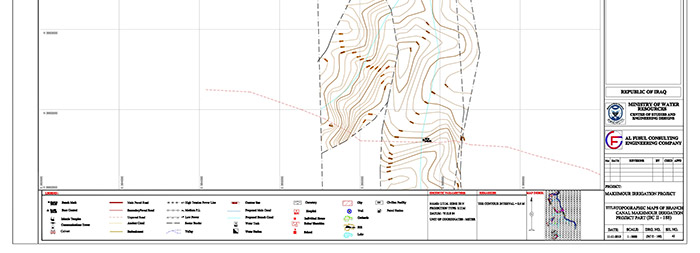
Project location:
The project’s land, which is covered by the Upper Zab River, the South of Mosul, lies on the left side of the Tigris River and extends between two latitudes and two long lines ( ) and is bordered to the north by the Upper Zab River, to the west by the Tigris River, to the south by the Lower Zab River and to the east and northeast by the Heights of Qara Gokh, and the area of the project is 268,000 km long, including the strip survey of the feeding channel of the project from the first alternative provided by the Al-Kuweir side along (60) km and located on the Upper Zab River.
Description of the work:
Implementation of topographical survey work on the project and the following
- Topographic survey of 226,400 dunums
- Tape scan of the main channel 24000 dunums
- 17000 dunums tape scan of sub-channels
- 600 dunums of accurate survey of the first area
- 20 sections of the drilling and shoulders
- B.M 320 B.M


